Showcase of diverse initiatives taken up by the NAGSWC Department, Nagaland
Explore Projects ⟶Established in 1968, the Department of Soil & Water Conservation Nagaland implements sustainable soil and water conservation strategies to enhance agricultural productivity, prevent soil erosion, and manage water resources.
Addressing hillside runoff, riverbank erosion, and land degradation through structural and vegetative contour trenches, check dams, and terracing.
Recharging groundwater aquifers, constructing rainwater harvesting recharge ponds, and securing springshed catchments across Nagaland districts.
Training local farmers, reducing Jhum cultivation impacts, and introducing modern GIS-based geo-tagging field survey technologies.
Interactive analytical breakdown of geo-tagged soil and water conservation assets, springshed structures, check dams, and contour interventions across Nagaland districts.
Interactive geo-tagged assets including springshed recharge ponds, contour trenches, gabion check dams, and catchment boundaries.
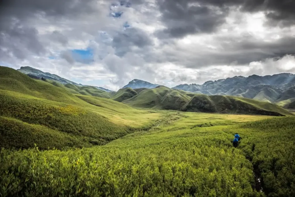
Geographical survey cataloging 168+ springshed assets, contour trenches, recharge ponds, and catchment boundary polygons.
View Interactive Map ⟶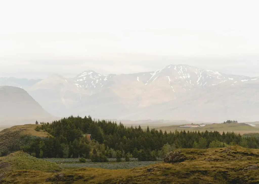
Green transformation project focusing on water conservation, soil stabilization, and community springshed development.
View Interactive Map ⟶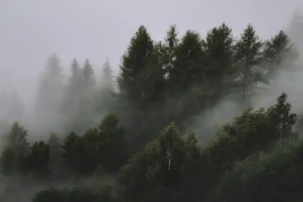
Asset mapping for structural check dams, slope protection, and rural water harvesting structures.
View Interactive Map ⟶Powered by modern GIS mapping, real-time spatial telemetry, and structured field survey data for comprehensive soil and water conservation tracking.
Switch seamlessly between standard street view, high-resolution satellite imagery, and topographic terrain elevation layers. Overlay district boundaries, springshed recharge catchments, and contour trench polygons.
Click any geo-tagged marker to inspect high-resolution field photos, localized water quality metrics (pH, EC, Turbidity, Discharge rate), and structural check dam dimensions.
Filter conservation assets instantly by targeted project directory, district, land ownership, spring nature (perennial vs. seasonal), and dependent household demographics.
Import Google Earth KML/KMZ survey tracks and field markers effortlessly into project repositories with automatic extraction of placemarks, paths, and metadata.
Integrated optical character recognition automatically reads watermarked GPS coordinates and timestamps directly from field photos uploaded by site engineers.
Administrative portal allows live content editing, asset specification updates, bulk media batch uploads, and instant publishing to the public map directory.